Google’s AI-powered flood forecasting system has recently expanded its reach, now covering 100 countries and over 700 million people globally. This significant expansion — an increase of more than 300 million people — is set to enhance early warning capabilities and disaster preparedness, especially in regions prone to severe flooding.
Advanced Flood Forecasting with AI
In a recent blog post, Google outlined the advancements that have driven this expansion. The flood forecasting system, initially launched in a limited set of regions, is now available in 100 countries. This was made possible through research that improved Google’s ability to access more labeled data, which helped train the AI models to predict riverine flooding with better accuracy. Google’s new forecasting model not only draws from these enhanced datasets but also benefits from an advanced model architecture, improving both the speed and reliability of its predictions.
With its new model, Google can now forecast flood risks up to seven days in advance, an improvement from the previous five-day lead time. This gives communities more time to prepare, potentially saving lives and reducing infrastructure damage. The extended forecasting lead time could be especially helpful for countries with limited resources, allowing local authorities to implement crisis response strategies well in advance.
Access for Researchers and Public Authorities
Google has also opened access to its forecasting data through an innovative new API and its existing Google Runoff Reanalysis & Reforecast (GRRR) dataset. This open access means researchers, public authorities, and environmental organizations can now tap into Google’s flood forecasts and integrate them into their own systems, models, and response strategies.
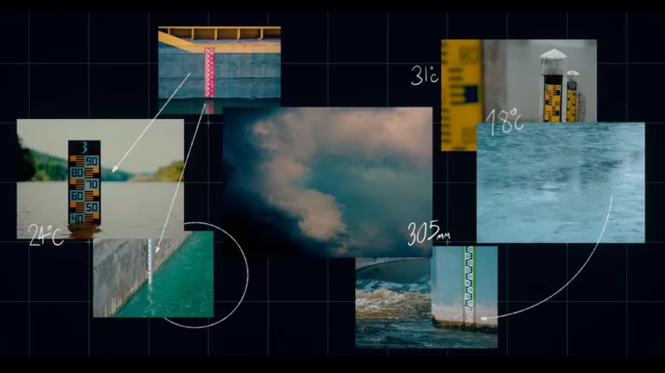
The API enables users to check hydrological forecasts for areas at risk, both urban centers and remote regions where traditional data sources may be sparse. The new API and data-sharing initiative are crucial steps toward empowering local communities and emergency management agencies with accurate, up-to-date information on flood risks. These datasets offer 250,000 forecast points using virtual gauges, which simulate the likelihood of flooding by analyzing geological and atmospheric conditions in real time.
A Focus on Public Safety and Infrastructure
Google’s flood forecasting system is designed to be highly actionable, especially for public authorities in flood-prone areas. Accurate seven-day forecasts offer critical lead time for local authorities to implement evacuation plans, secure infrastructure, and mobilize resources for potentially affected regions. This AI-driven model could be transformative for areas with limited traditional flood forecasting capabilities, helping communities better prepare and potentially avoid the worst impacts of severe flooding events.
As Google expands its flood forecasting to additional regions, it’s setting a precedent for how advanced AI can contribute to disaster preparedness on a global scale. This flood forecasting initiative not only leverages advanced AI technology but also emphasizes open collaboration with local authorities, researchers, and environmental groups — a necessary approach for addressing the growing challenges posed by climate change.


